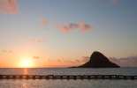
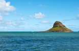
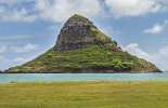
Mokoli'i island at Kualoa Point
East Oahu Sight
This little cone-shaped lump of lava off Kualoa Point is officially called Mokoli'i, which means "giant lizard." This historical island has a rich Hawaiian oral tradition that tells of a battle between a huge dragon and Hi'iaka, the sister of goddess Madame Pele.
In the past, this little chunk of land was part of Oahu, but through years of erosion, it has separated. You can still reach it, though. It is possible to walk there from Kualoa Regional Park during low tide. You can also surf or kayak there.
The island supports an interesting array of sea life and a small beach in a secluded cove. You can also attempt to climb the cinder cone, but it is steep and arduous, so proceed with caution. Mokoli'i peaks just shy of 210 feet (64m) in height above sea level.
From Mokoli'i, you can get stunning views of the Koolau Mountains, Mokapun peninsula, Kahaluu, Kaneohe, and Kailua.
In the past, this island also earned the slang nickname "Chinaman's Hat," likely from its resemblance to the straw hats that Chinese immigrants wore. Please be aware that many local community members within Hawaii consider this slang nickname highly inappropriate and culturally insensitive, so we always suggest referring to this attraction by its proper name: Mokoli'i Island.
Location / Directions
Mokoli'i Island is located offshore via the Kamehameha Highway from the Kualoa Point State Recreation Area, approximately a 45-minute drive north from Honolulu.
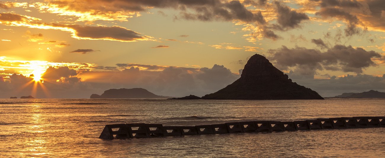
Mokoli'i island, one of Oahu's most recognized landmarks


