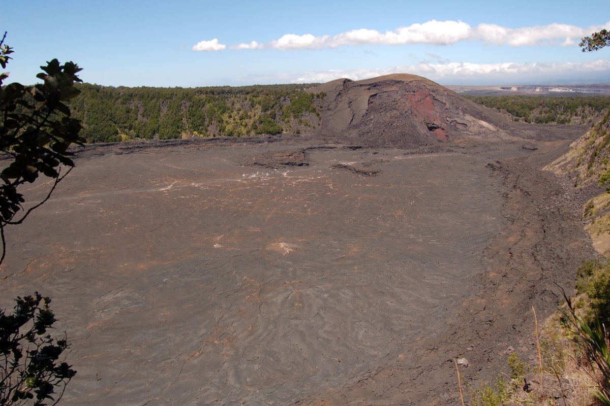
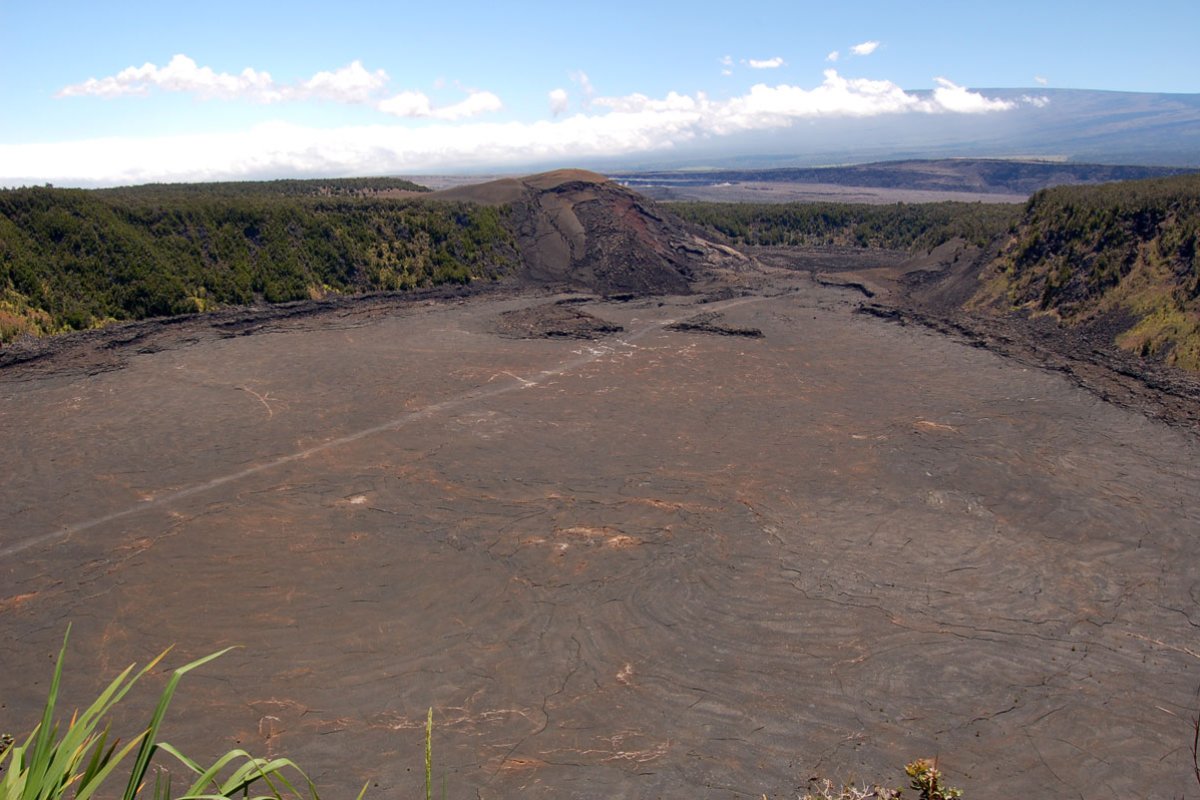
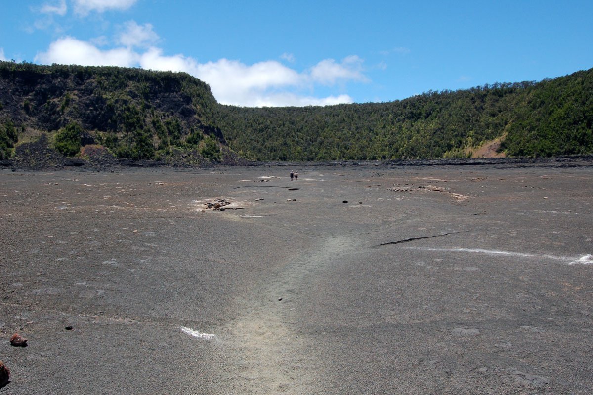
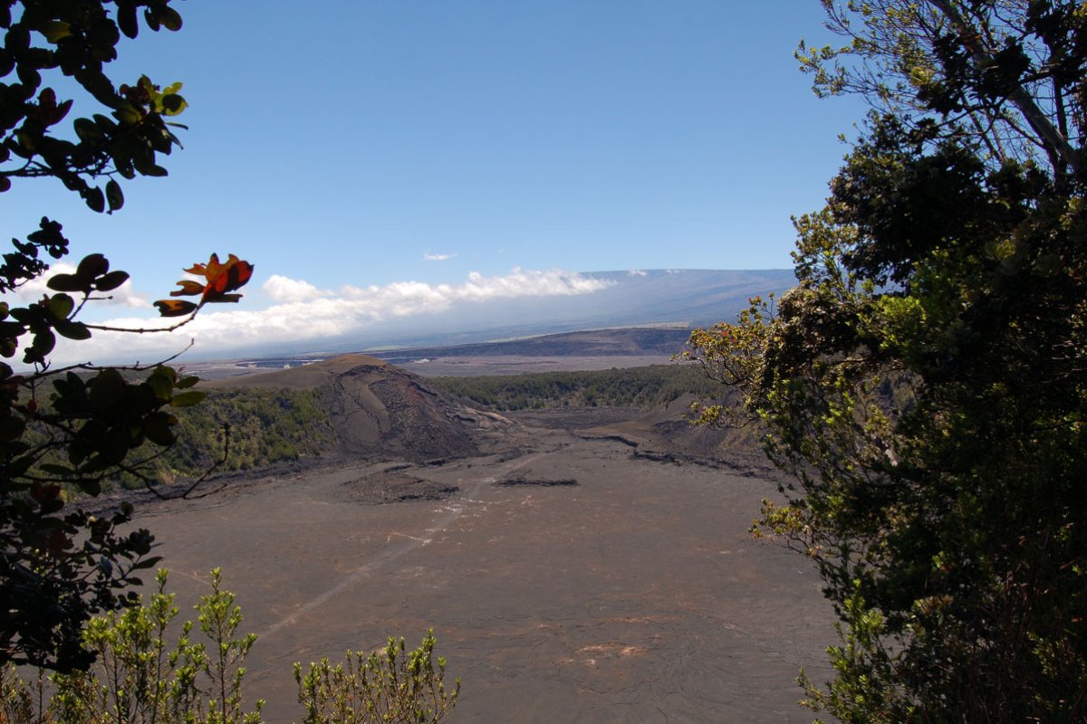
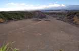
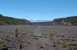
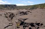
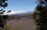
As you stand at the Kilauea Iki overlook you can see a lightly-etched trail stretching across the crater floor. From your 400 ft high vantage point you might be able to see little specks walking the path: those are people! The views of Pu'u Puai (gushing hill), a cinder cone that formed during the 1959 eruption at Kilauea Iki Crater, are also great from this vantage point.
Kilauea Iki is an approximately four-mile loop that takes 2-3 hours. It skirts the rim of the crater, dips down and across the floor and back up to the overlook. You can either take the Crater Rim Trail to the right around the rim of Kilauea Iki and then down to the crater floor then back up the other side or go left and begin the hike with the descent into the crater. We prefer the first option simply because you can enjoy the beauty of the rim rain forest at the beginning of the hike and the ascent is slightly less arduous.
The portion of Crater Rim Trail that runs along the rim is a dense high-elevation jungle populated with flowering ohia trees and graceful ferns. If you are not in a hurry, take a few minutes to gaze overhead and you may catch a glimpse of the apapane. They are one of the most common Hawaii forest birds, but their deep red feathers and black beaks make them a beautiful sight. The apapane loves to flit from ohia blossom to ohia blossom drinking its nectar. Gaps in the jungle cover reveal breathtaking views of the black crater floor, a stark contrast to the thriving forest.
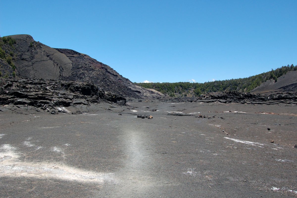
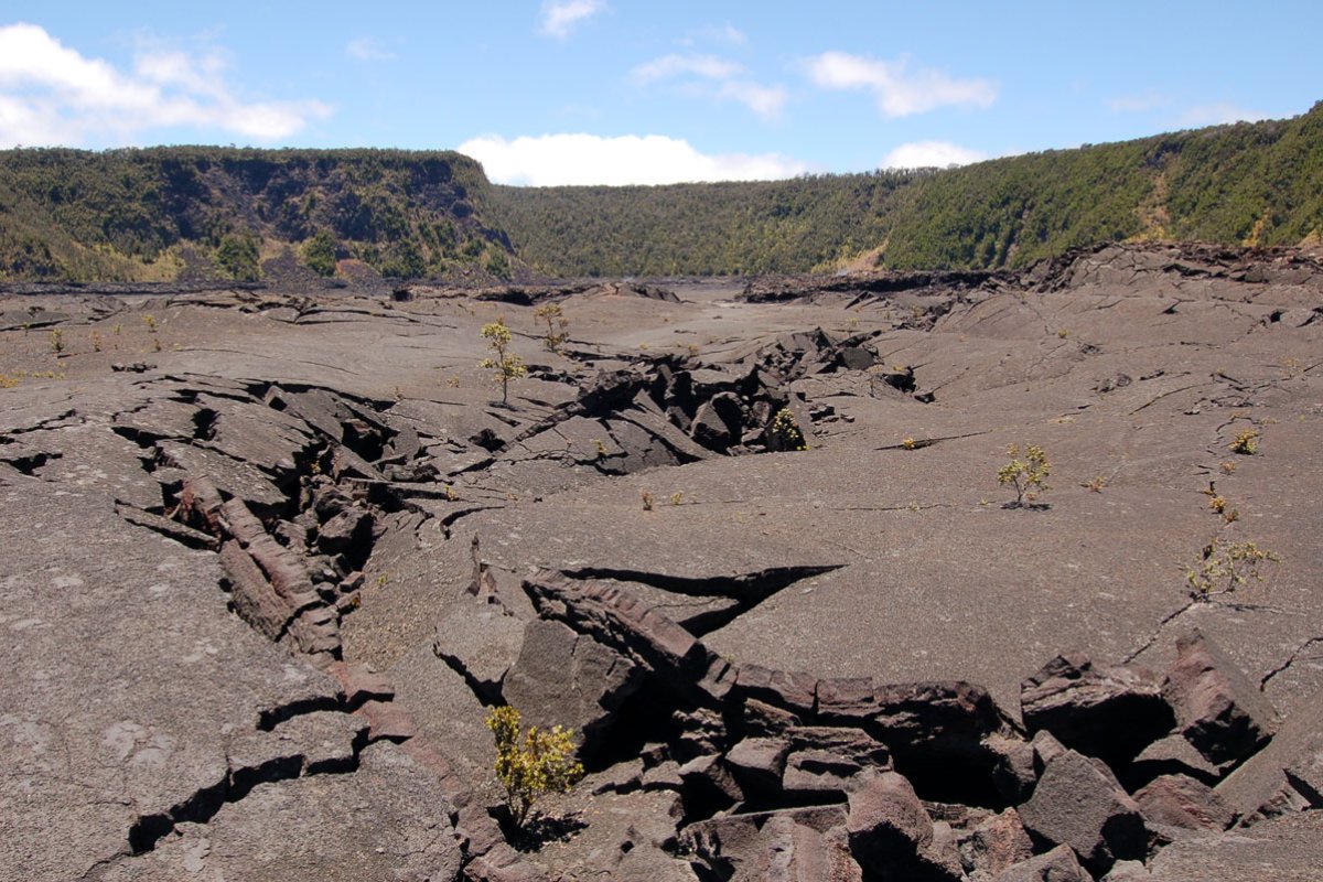
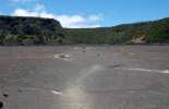
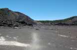
The trail descends into the crater with a mixture of stairs and steep terrain. Make sure you have applied plenty of sunblock because the sun seems much more intense on the exposed floor. Once you have reached the bottom a whole new alien landscape envelopes you. What looked like a pebble from the rim is now a massive pile of lava rock. Along the cliffs you can see a high water mark or literally a lava ring in the crater. Although you are walking across solid land, below you molten earth still stirs. If the elements are right, you may even see steam sneaking between the cracks and crevices - reminders that this volcano is still alive and breathing.
The path back up the crater rim will branch off at to Thurston Lava Tube parking lot or you can continue on back to the Kilauea Iki overlook. If you have a good day to spend and have the stamina, you can also hike to Kilauea Iki from the park visitor center on the Crater Rim Trail or the Byron Ledge Trail. The overlook is located on Crater Rim Drive inside Hawaii Volcanoes National Park.


