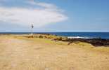
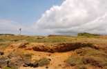
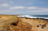
Southernmost Point in the U.S.
Big Island Sights
The traditional Hawaiian name for South Point is Ka Lae meaning "the point." The turnoff for South Point Road is between the 69 and 70 mile markers with a large green sign pointing makai.
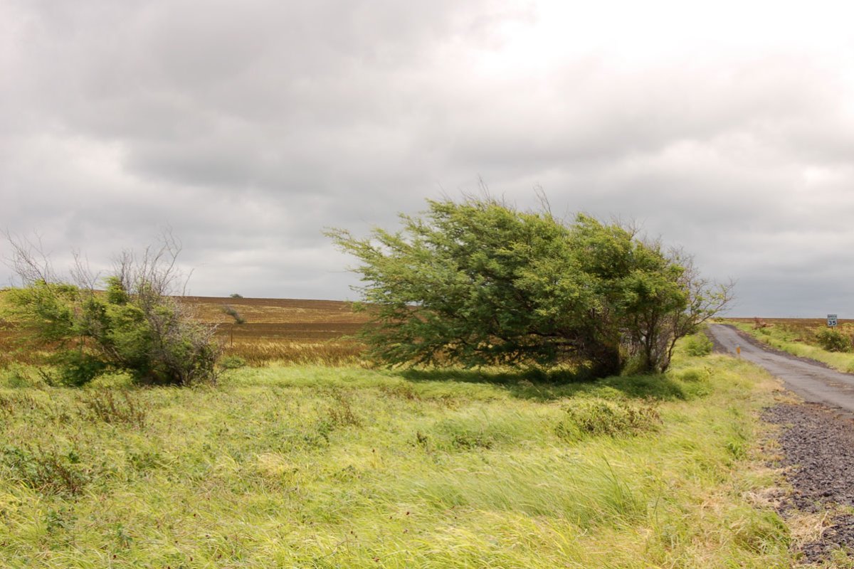
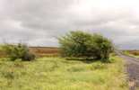
The two-lane paved road cuts through macadamia nut groves, pasture land and a Mauna Loa lava flow. About five miles into the 12 mile trip to Ka Lae the road shifts to a one-lane rugged passageway through vast, flat pastureland. Short, scrubby plants cling to the fields while cattle graze.
A little further down the road you'll see rows of metal giants reaching toward the skies, their huge metal arms straining against the fierce South Point wind. When it was built in the late 1980s, the Kamoa Wind Farm had over 30 operating turbines. Some of these massive windmills may still spin but many, rusted and broken down are a bit sad against the landscape. Off the road and closer to the point are Tawhiri Power's 14 brand new GE turbines, which when completed in early 2007 were expected to bring power to 10,000 Big Island homes.
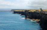
As you continue the road becomes more constricted. Drive carefully and scoot over when necessary to let oncoming traffic pass. Just past mile marker 8 is an excellent view of South Point. The road splits at the 10-mile marker with the left fork heading to the Kaulana Boat Ramp and beginning of the Papakolea (Green Sands Beach) hike.
Weather permitting (rain showers do tend to pop up now and again) take the right fork and continue to Ka Lae. At the end of the road, you can park and walk the rest of the way to the edge of the cliffs. Remember don't leave any valuables in plain sight in the car even though this is a popular spot for local fisherman and you will not have to walk too far.
A strong mixture of currents makes Ka Lae a fertile fishing spot that has been used by Hawaiians for centuries. Historians believe that this is where the Polynesians first made land in the islands on their way from Tahiti. This could very well be the site of the first Hawaiian settlement. Although fishing was plentiful, large fish like mahimahi, tuna, and red snapper happily hang out in the waters, a canoe could easily be carried out to sea by the currents and its occupants never heard from again.
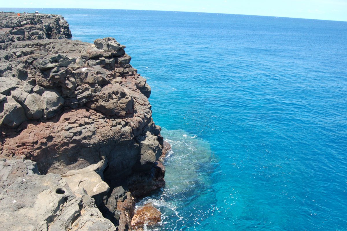
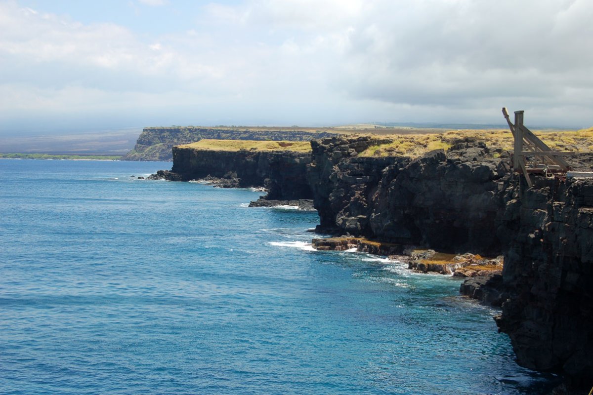
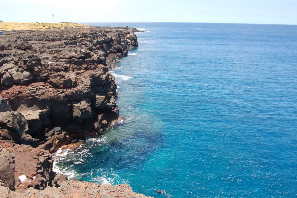
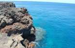
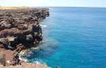
You'll notice large wooden boat hoists leaning out of the edge of the cliffs. These are used to lower the small boats into the sea. Ancient Hawaiians knew the power of the ocean here and bored holes into the cliffs where they could secure a rope which would essentially tie their boat to shore and guarantee a safe return. If you look closely below the hoists, you may see a few. Long ladders also extend down towards the crystal blue water. Some locals and daredevil visitors will take the leap off the cliffs and into the sea below using the ladder to climb out. This is not an activity we recommend since the currents are quite strong and the next landfall is Antarctica. Although, feel free to peer down and look for honu and other sea life bobbing by the cliffs.
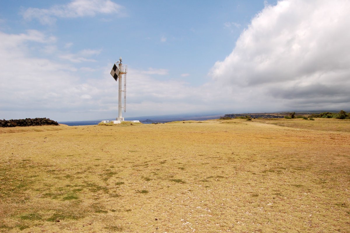
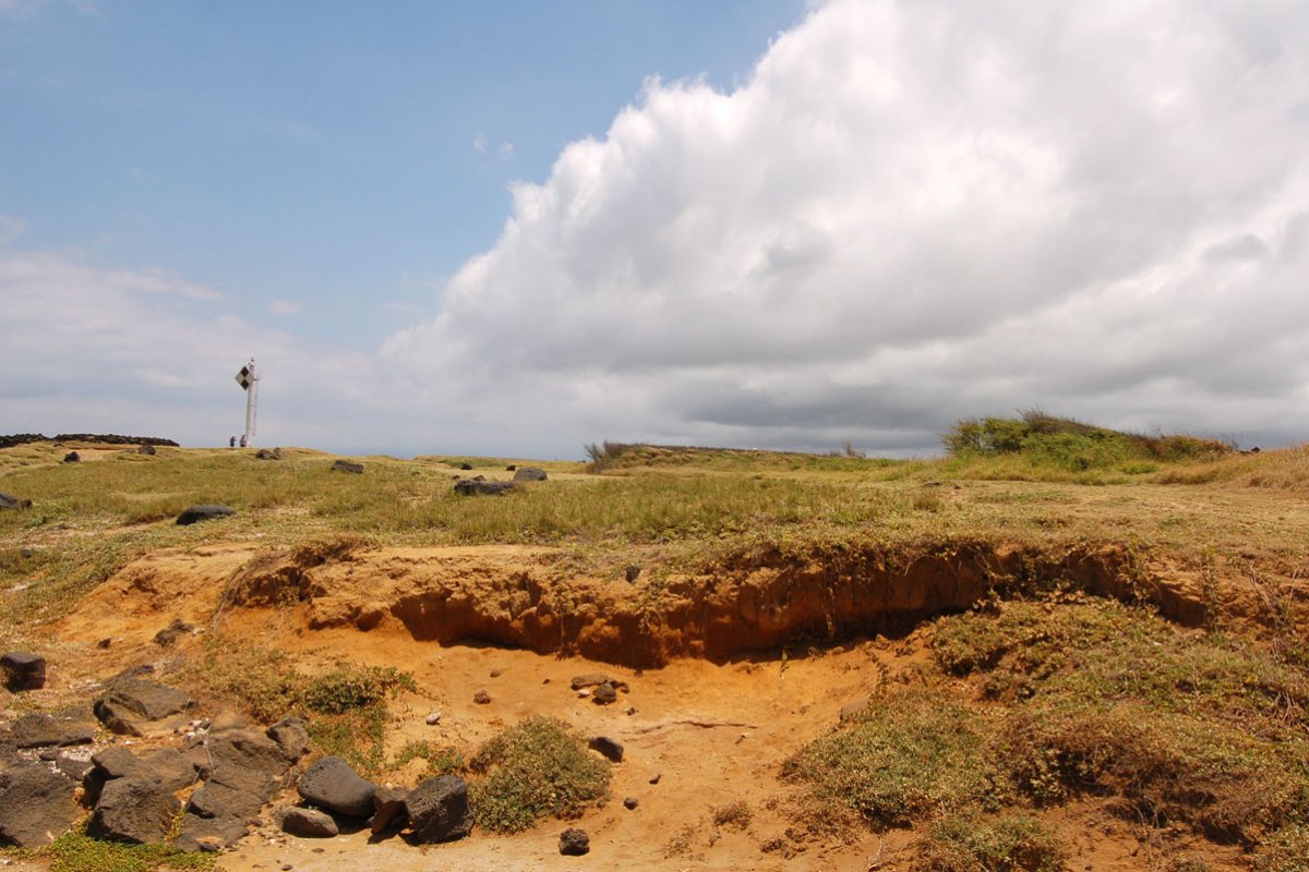
The actual Southernmost tip of the United States is just past the metal light beacon to the left and toward the coast. Follow the low rock wall, actually an ancient Hawaiian ruin called Kalalea Heiau, to the edge where the frenzied ocean punishes the rugged coastline with its power. Please do not touch or sit on the rock wall as it is a sacred site.
Our Recommended Big Island Tours
FREE 2025 DOWNLOADS
Big Island Intro Visitor Guide
+ Our Summary Guidesheet!
Includes the top must-see & do attractions, best times to visit, a monthly weather & visitor summary, and our tips on how to save when booking your car rental, tours, and activities. Plus, grab our free Big Island Summary Guidesheets.


