Maui Drive Times
If you're visiting Maui in the near future, you're probably curious to know how long it's going to take to access various places on the island.
Below we've either chosen a beginning point (the airport, for starters) OR a destination (such as Haleakala and Hana), and how long you can expect the drive to arrive at various locations on the island. Please note that these estimates are for non-rush-hour traffic, so increase the estimates by half an hour when traveling during rush hour. We've also included basic directions.
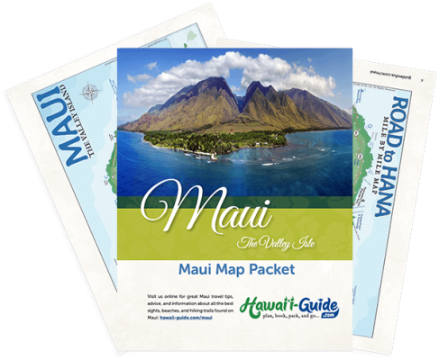
Maui Map Packet
Updated with a new high-resolution Maui map. Includes most major attractions, all major routes, airports, and a chart with estimated Maui driving times.
PDF packet now additionally includes a Maui Beaches & Road to Hana Map.
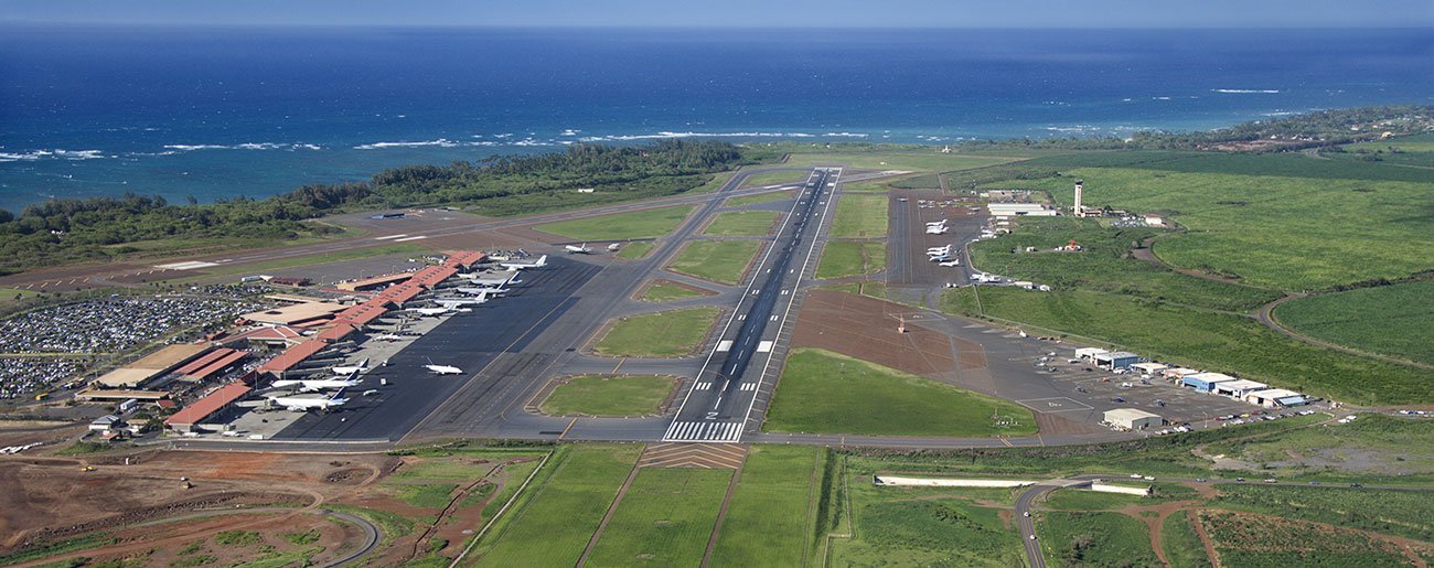
Kahului Airport
FREE 2025 DOWNLOADS
Maui Intro Visitor Guide
+ Our Summary Guidesheet!
Includes the top must-see & do attractions, best times to visit, a monthly weather & visitor summary, and our tips on how to save when booking your car rental, tours, and activities. Plus, grab our free Maui Summary Guidesheets.
Starting Point: Kahului Airport
Destination: South Maui (including Kihei and Wailea)
Time Estimate: Approximately 20-25 minutes.
Directions: Take Highway 380 to Highway 311 and take a left at the traffic light. Continue on Highway 311 until you reach Highway 31. Again, turn left at the traffic signal. From here directions vary depending on the location of your vacation unit. Many folks will want to turn onto South Kihei road if they're staying in Kihei. Folks staying in Wailea will want to continue on Highway 31 until it turns into Wailea Alanui Drive. From that location (end of the Highway), if you're staying at the Aston Wailea or the Renaissance you will turn right. If you are staying at the Grand Wailea, Four Seasons, Kea Lani or Maui Prince hotels you will turn left.
Destination: West Maui (including Kaanapali, and Napili)
Time Estimate: Approximately 45 to 65 minutes.
Directions: Take Highway 380 until it joins with Highway 30. Turn left at the traffic light and continue for approximately 20 minutes. If you're staying further north in Kaanapali or Napili, continue along Highway 30. Kaanapali is approximately 10-15 minutes further up the road from the junction with Lahaina (which is closed).
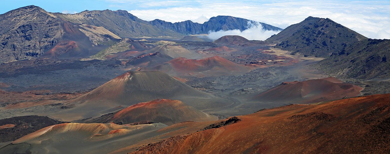
Haleakala National Park
Destination: Haleakala National Park (Summit)
Haleakala Highway is one of the quickest-climbing roads in the world and the drive to the summit of Haleakala is an experience all to itself. It's not a quick drive, though, and you can expect the switchbacks going up and back down to take some time. Be sure not to ride your brakes on the way down- use a lower gear if possible- and keep an eye out for any bicyclists, Nene (Hawaiian geese), or cattle (it's an open range here).
STARTING POINT: South Maui
Time Estimate: Approximately 2 hours. It'll seem like longer if you're heading for the sunrise.
Directions: From South Maui (Kihei, Wailea, etc.), you'll want to get onto Highway 31 and head north. Take Highway 31 to Highway 311 and be sure to approach Highway 311 in the RIGHT lane. Once you're on Highway 311, continue until you reach Highway 380 and turn right at the traffic light. It's not far on Highway 380 before you'll reach Highway 36 (take a right at the traffic light) and continue until Highway 36 meets Highway 37. Again, take a right at the traffic light (signs should also now help guide you). Once you're on Highway 37, take it until Highway 377 splits off on the left (mauka - towards the mountain). The sign for Haleakala Crater should mark the way. Take Highway 377 until Highway 378 splits off on the left and take it to the summit. There is an admission fee to enter Haleakala National Park around mile marker 10 on Highway 378.
STARTING POINT: West Maui
Time Estimate: Approximately 3 hours.
Directions: From your vacation unit in West Maui (Kaanapali, etc.) you'll want to take Highway 30 south to Highway 380. Turn right at the traffic signal and continue until Highway 380 splits with Highway 36; you'll turn right onto Hwy 36. Continue until Highway 36 meets Highway 37. Again, take a right at the traffic light (signs should also now help guide you). Once you're on Highway 37 take it until Highway 377 splits off on the left (mauka - towards the mountain). The sign for Haleakala Crater should mark the way. Take Highway 377 until Highway 378 splits off on the left and take it to the summit. There is an admission fee to enter the park around mile marker 10 on Highway 378.
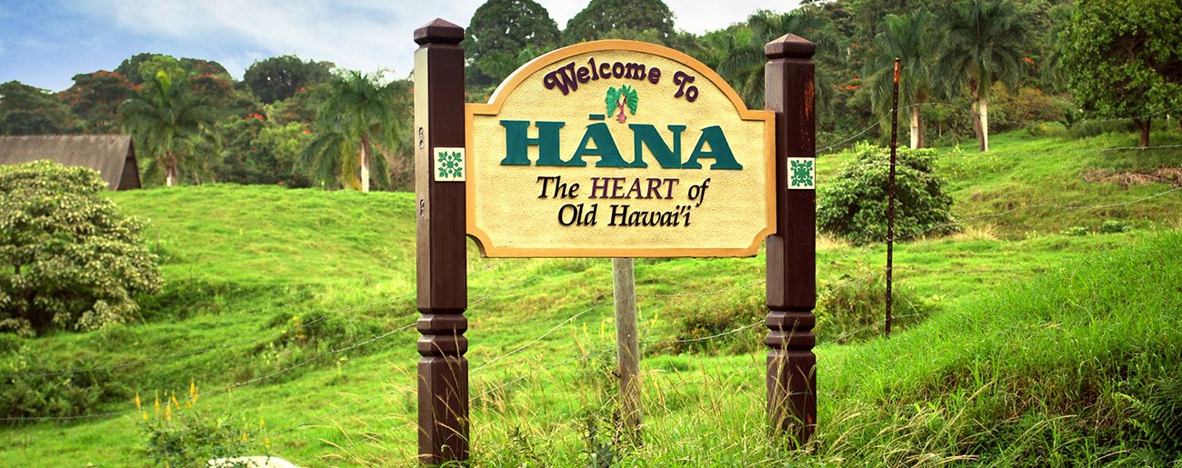
Hana
Destination: Hana Town (and/or Oheo Gulch)
This drive is likely going to be a full day affair. The Road to Hana or Hana Highway is the highlight of Maui for many visitors. Be sure to get as early a start as you can because while the road is both scenic and curvy - the traffic jams that start around 10 AM are no fun at all and can exponentially increase driving times (but you likely aren't making this a straight drive anyway). The Hana Highway is about the journey, NOT the destination. Be sure to stop, and stop often. Take it all in and enjoy the experience. If you rush to Hana town, you'll likely be disappointed when you arrive. Be sure to fuel up in Paia town, where the drive is deemed to officially begin, and pack a lunch for this all-day affair.
And while driving on your own is fun for us personally, we realize it is much simpler to sit back, relax, and let someone else do the driving. If that sounds like the best option for you, then we’ve found what we think is the best Road to Hana Tour company- Valley Isle Excursions. We love them because their expert and local guides are some of the best in the industry, and their luxury customized vans are spacious, comfy, and have panoramic windows for great views. They even provide pick-up at most hotels. Best of all, as trailblazers in the eco-friendly tourism industry, they are the first Hawaii-based tour company to complete the Hawaii Green Business Program.
Starting point: South Maui
Time Estimate: As a straight drive, it's 2.5 to 3.5 hours. But, as noted, you're likely not making it a straight drive.
Directions: Take Highway 31 to Highway 311 and turn right. Take Highway 311 until it joins with Highway 380 (turn right onto Hwy 380). Take 380 a short distance to Highway 36 and turn right. From here you'll pass through Paia town and eventually the road will change to Highway 360. The journey ends in Hana almost 50 miles away. If you're continuing to the Oheo Gulch it's another 10 miles (15 minutes) along the South Hana Highway (Highway 31).
Starting point: West Maui
Time Estimate: As a straight drive, it's 4 to 5 hours.
Directions: Take Highway 30 to Highway 380 and turn right at the traffic light. Continue on Highway 380 until you reach Highway 36, then turn right again. From here you'll pass through Paia town and eventually the road will change to Highway 360. The journey ends in Hana almost 50 miles away. If you're continuing to the Oheo Gulch in Kipahulu it's another 10 miles (15 minutes) along the South Hana Highway (Highway 31).
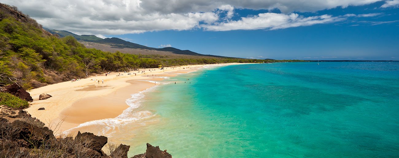
South Maui Shore
Destination: South Maui Shore (Makena Big Beach, Little Beach, La Perouse etc.)
Some of the most beautiful beaches on Maui exist along the south Maui shore. In particular, there is Makena (Onolea) Beach Park, host to what many call "Big Beach", and its tiny neighbor, Puu Olai or "Little Beach." Use caution in the water at these beaches - the currents can be deadly. Be forewarned also that "Little Beach" is popular with those who like to wear little clothing as well. La Perouse Bay is just further south of Makena and is a great place to make a quick visit to Maui's most recent (geologically speaking) lava flow.
Starting point: South Maui
Time Estimate: Approximately 20 minutes to half an hour.
Directions: Take Highway 31 south until it runs into Wailea Alanui Drive. Turn left at the intersection and continue past the Maui Price Hotel until you see the State Park sign for Makena Beach. The parking lot is on the right. La Perouse is just a few minutes (three miles) beyond this point. Parking is on the right at La Perouse Bay.
Starting point: West Maui
Time Estimate: Approximately 1 hour.
Directions: Take Highway 30 until it meets Highway 31. Take a right and continue on Highway 31 (for a long distance) until it runs into Wailea Alanui Drive. Turn left at the intersection and continue past the Maui Price Hotel until you see the State Park sign for Makena Beach. The parking lot is on the right. La Perouse is just a few minutes (three miles) beyond this point. Parking is on the right at La Perouse Bay.
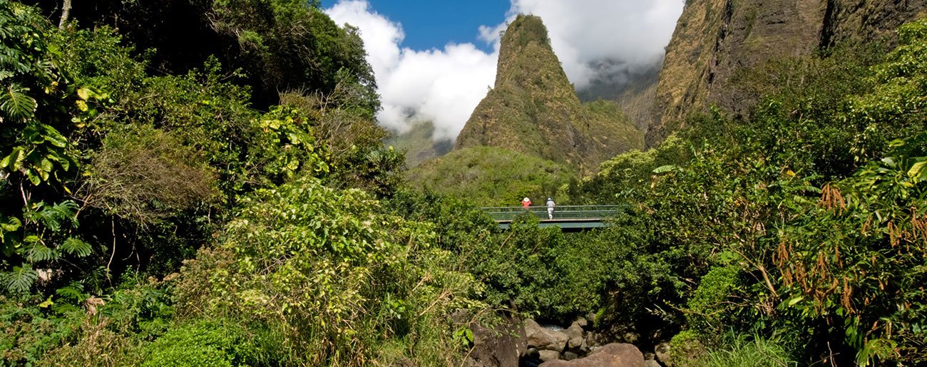
Iao Valley
Destination: Iao Valley
Iao Valley and Iao Needle are a wonderful attraction for all Maui visitors. It's an especially great stop for families. The valley is a state park and offers paved trails throughout.
Starting point: South Maui
Time Estimate: Approximately 40 minutes to an hour.
Directions: Take Highway 31 all the way north to Highway 30 and turn right. Take Highway 30 to Kaahumanu Avenue (aka Iao Valley Road) and take a left at the traffic light. The road will dead end at the parking lot in the valley.
Starting point: West Maui
Time Estimate: Approximately 1 hour.
Directions: Take Highway 30 to Kaahumanu Avenue (aka Iao Valley Road) and take a left at the traffic signal. The road will dead end at the parking lot in the valley.


